- Событие прошло
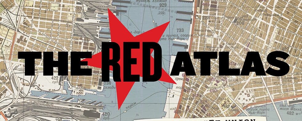
The Red Atlas: How the Soviet Union Secretly Mapped the World
The Red Atlas: How the Soviet Union Secretly Mapped the World
After the collapse of the Soviet Union an astonishing treasure trove came to light – hundreds of thousands of maps showing in chilling detail countries and cities throughout the world. The story of this amazing cartographic enterprise has never been told, until now!
You may not be surprised to learn that during the Cold War the Soviet Union gathered information about the West. But you may be astonished to discover just how much they knew about your town, your street, even your house.
This is the never-before-told story of the world’s most comprehensive mapping endeavour and, arguably, the world’s most intriguing maps.
It is the story of how it was possible, during the dark days of mutual suspicion and under the ever-present threat of mutual nuclear destruction, for Soviet cartographers to collect such an astonishing wealth of detail about the streets, buildings, industries, transport and utilities of capitalist cities. This book is for the general reader and for everyone interested in the history and political geography of the twentieth century.
John is a life-long map collector and enthusiast. Since retiring from a career in Information Systems he has been writing and lecturing about these maps and is editor of Sheetlines, the Journal of The Charles Close Society for the Study of Ordnance Survey Maps. He lives in London and runs the website RedAtlasBook.com
Alex has undertaken award-winning research into the design and aesthetics of topographic mapping and is the immediate past President of the British Cartographic Society. He shares his passion for cartography with students at Canterbury Christ Church University in the UK, where he is Reader in Cartography and Geographical Information Science. He is also well known in the international cartographic community as Editor of The Cartographic Journal, as Chair of the International Cartographic Association (ICA) Commission on Topographic Mapping, and for presenting his research on Soviet maps at conferences around the world.
Find Events
| May | June | July | August | September | October | November | ||||||||||||||||||||||||||||||||||||||||||||||||||||||||||||||||||||||||||||||||||||||||||||||||||||||||||||||||||||||||||||||||||||||||||||||||||||||||||||||||||||||||||||||||||||||||||||||||
Sat16 | Sun17 | Mon18 | Tue19 | Wed20 | Thu21 | Fri22 | Sat23 | Sun24 | Mon25 | Tue26 | Wed27 | Thu28 | Fri29 | Sat30 | Sun31 | Mon01 | Tue02 | Wed03 | Thu04 | Fri05 | Sat06 | Sun07 | Mon08 | Tue09 | Wed10 | Thu11 | Fri12 | Sat13 | Sun14 | Mon15 | Tue16 | Wed17 | Thu18 | Fri19 | Sat20 | Sun21 | Mon22 | Tue23 | Wed24 | Thu25 | Fri26 | Sat27 | Sun28 | Mon29 | Tue30 | Wed01 | Thu02 | Fri03 | Sat04 | Sun05 | Mon06 | Tue07 | Wed08 | Thu09 | Fri10 | Sat11 | Sun12 | Mon13 | Tue14 | Wed15 | Thu16 | Fri17 | Sat18 | Sun19 | Mon20 | Tue21 | Wed22 | Thu23 | Fri24 | Sat25 | Sun26 | Mon27 | Tue28 | Wed29 | Thu30 | Fri31 | Sat01 | Sun02 | Mon03 | Tue04 | Wed05 | Thu06 | Fri07 | Sat08 | Sun09 | Mon10 | Tue11 | Wed12 | Thu13 | Fri14 | Sat15 | Sun16 | Mon17 | Tue18 | Wed19 | Thu20 | Fri21 | Sat22 | Sun23 | Mon24 | Tue25 | Wed26 | Thu27 | Fri28 | Sat29 | Sun30 | Mon31 | Tue01 | Wed02 | Thu03 | Fri04 | Sat05 | Sun06 | Mon07 | Tue08 | Wed09 | Thu10 | Fri11 | Sat12 | Sun13 | Mon14 | Tue15 | Wed16 | Thu17 | Fri18 | Sat19 | Sun20 | Mon21 | Tue22 | Wed23 | Thu24 | Fri25 | Sat26 | Sun27 | Mon28 | Tue29 | Wed30 | Thu01 | Fri02 | Sat03 | Sun04 | Mon05 | Tue06 | Wed07 | Thu08 | Fri09 | Sat10 | Sun11 | Mon12 | Tue13 | Wed14 | Thu15 | Fri16 | Sat17 | Sun18 | Mon19 | Tue20 | Wed21 | Thu22 | Fri23 | Sat24 | Sun25 | Mon26 | Tue27 | Wed28 | Thu29 | Fri30 | Sat31 | Sun01 | Mon02 | Tue03 | Wed04 | Thu05 | Fri06 | Sat07 | Sun08 | Mon09 | Tue10 | Wed11 | Thu12 | Fri13 | Sat14 | Sun15 | Mon16 | Tue17 | Wed18 | Thu19 | Fri20 | Sat21 | Sun22 | Mon23 | Tue24 | Wed25 | Thu26 | Fri27 | Sat28 | Sun29 | Mon30 |
SUBSCRIBE
Receive our digest once a week with quality Russian events and articles